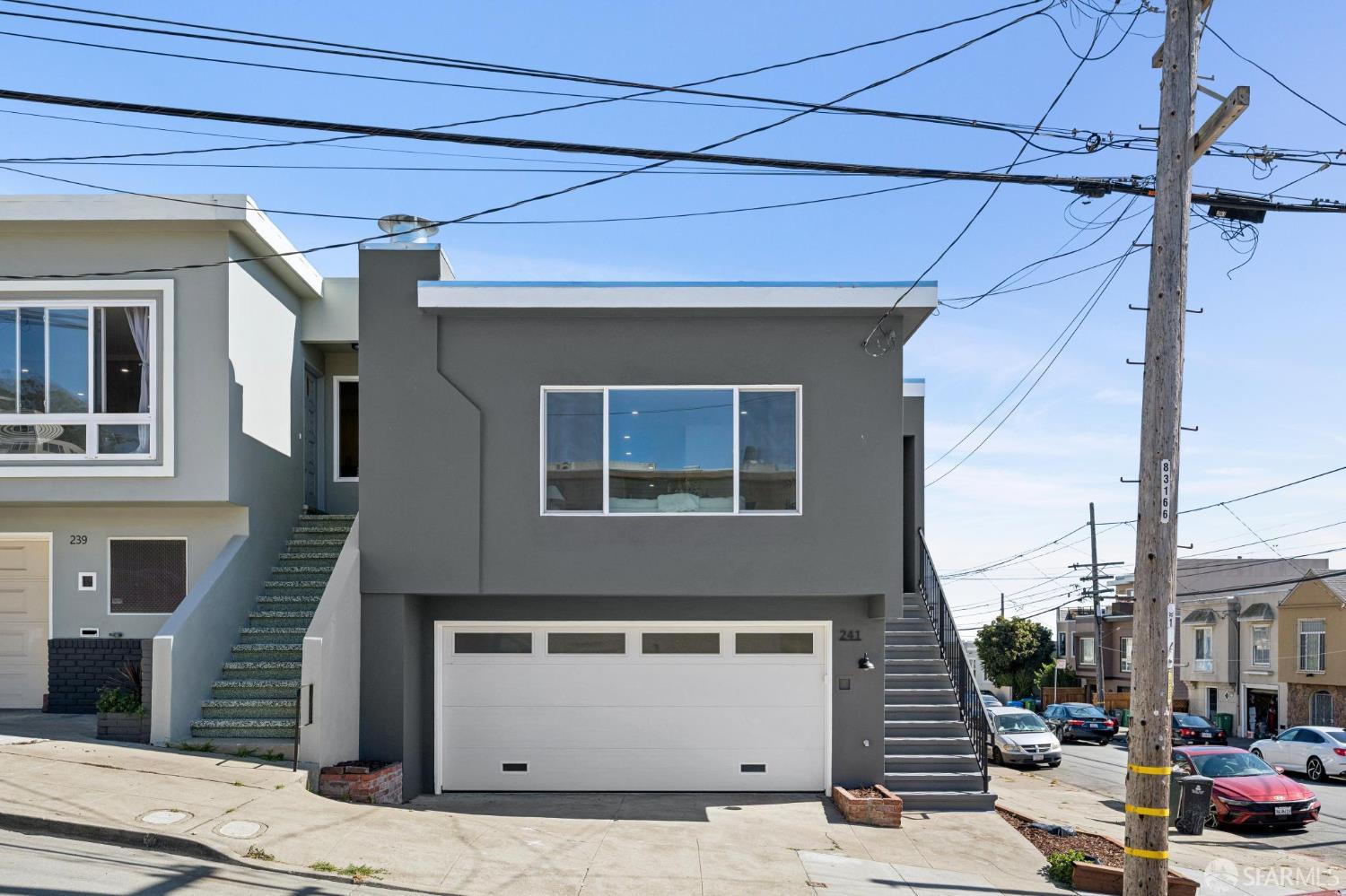
A valley with hillside edges
Steeper northern streets descend toward the lower valley and the city-county line.

San Francisco Neighborhood Guide · SFAR 10E
A southeast San Francisco neighborhood shaped by Leland Avenue, a real valley, hillside streets, McLaren Park and transportation routes near the city-county line.
Neighborhood Overview
Visitacion Valley sits at San Francisco's southeastern edge. SFMTA describes the neighborhood as south of Mansell Street, with steep hills in the north giving way to a bowl-shaped valley in the south. Leland Avenue is the main commercial corridor, while McLaren Park, Highway 101 and the city-county line create distinct edges.
The neighborhood name is often shortened locally to Vis Valley. Little Hollywood is nearby but separate in the SFAR system, and Sunnydale is a distinct context to the west. Those distinctions matter when a listing, a city map and everyday speech do not draw exactly the same line.
A useful home search tests the route from the actual address to Leland Avenue, transit, the relevant McLaren Park entrance and regular errands. A seller's strategy should explain the home's grade, access, parking, condition and records without asking a broad neighborhood label to do all the work.
Steeper northern streets descend toward the lower valley and the city-county line.
The corridor includes shops, services, restaurants, the post office and the public library.
The linear open space connects Leland Avenue with the hillside through gardens, paths and play areas.
The broader area has T Third and bus service, with Bayshore Caltrain east of Highway 101.

A Valley Before the Street Grid
An 1869 Coast Survey map already labels Visitacion Valley and makes the surrounding hills impossible to miss. The older geography still explains the present-day experience: a lower valley, steep approaches, rail and road corridors, and several neighborhood edges that meet within a compact area.
The name connects to California's Spanish era, and SFMTA notes that the area has served travelers arriving by horseback, stagecoach, locomotive, automobile and Muni. The modern street pattern and transportation network arrived in layers rather than all at once.
That history is useful when reading a property map today. Straight-line distance can hide a grade, freeway crossing or park entrance, while two addresses that look close may orient toward different daily routes.
Team Howe's Take
Visitacion Valley rewards buyers who walk the hill they expect to use, not the hill the map quietly hopes they will use.
Start on Leland Avenue, then make the actual trip to the property, transit stop or McLaren Park entrance. For the home itself, review garage access, lower-level use, drainage, permits and condition with the same address-level care.
Team Howe Picks
These stops create a practical first tour. Check current hours, programs, access and construction before heading out.
Linear Open Space
The Visitacion Valley Greenway runs through six public parcels between Leland Avenue and the hillside. Walking a section makes the neighborhood's grade tangible very quickly.
Open the official features listCommercial Corridor
Leland is the neighborhood's main business street. A daytime walk shows the practical mix of services and the relationship between the corridor, library and Greenway.
See the SFMTA guide
Civic Anchor
The branch at 201 Leland Avenue opened in its current building in 2011. Its calendar and collections make it a useful neighborhood stop, not simply a photograph.
Open the branch page
Hillside View
McLaren Park has several neighborhood faces. The overlook near Visitacion and Mansell helps explain the valley, but the closest boundary is not always the entrance a resident would use.
Open the official park pageVisitacion Valley Real Estate
Property type, grade, garage approach, lower-level use, nearby infrastructure and the exact relationship to Leland Avenue or McLaren Park can matter more than a broad label.
Test the hill, crossing, transit stop, park entrance and trip to regular errands from the front door.
Review permits, documented use, lower-level conditions, systems, drainage, foundation and parking.
Gather records early and present storage, parking, outdoor access and lower-level space accurately.
Adjust for property type, condition, layout, parking, grade and exact location when using nearby sales.
Around Visitacion Valley
The views show residential streets, a civic landmark and the morning geography of the valley. The next step is walking the route from the actual property.


Map & Transportation
Leland Avenue is the main commercial corridor, while hills, Highway 101, McLaren Park and the city-county line shape access. SFMTA currently lists the T Third and several bus routes for the broader Visitacion Valley area.
Points of Interest & Commute
Compass provides the current Walk Score, Bike Score, Transit Score and nearby business feed below. Use them for orientation, then test the grade, crossing, stop and actual trip between a home and the places you plan to visit regularly.
Properties in the Area
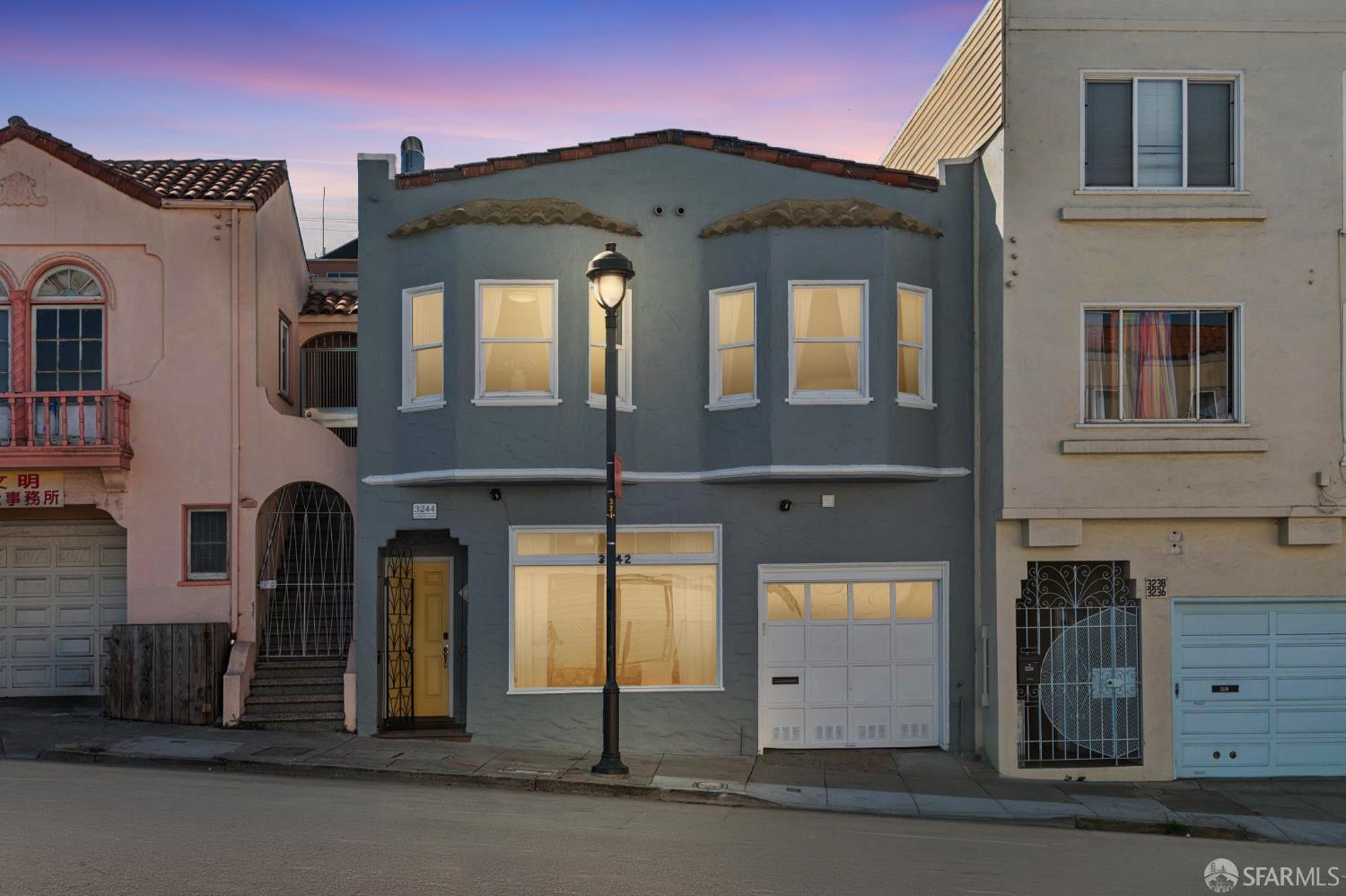
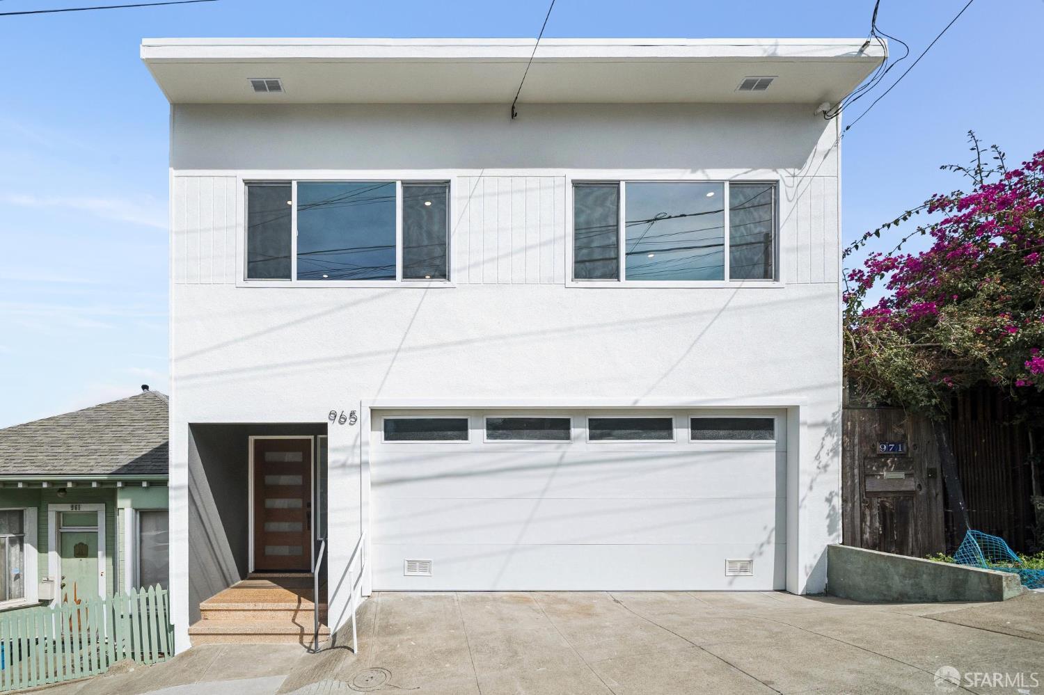
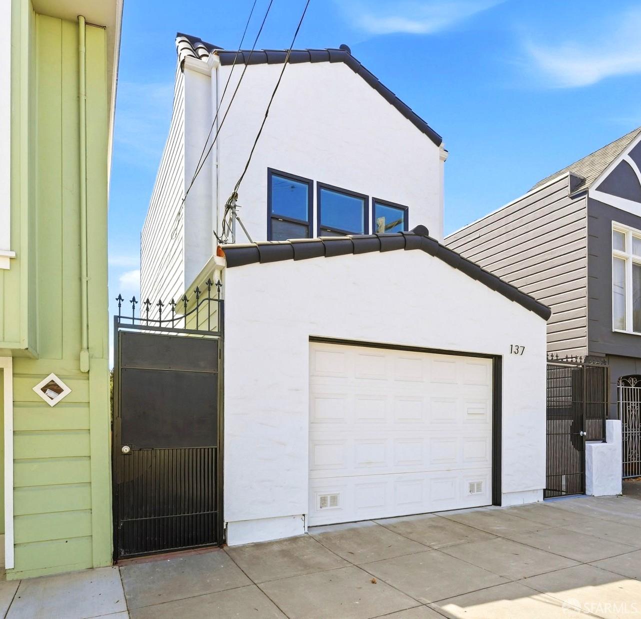
Compare each home by grade, route, layout, condition, parking, records and its actual relationship to Leland Avenue, McLaren Park and nearby transportation.
Neighborhood Orientation
Verify current transit, business, property, construction and market information for the specific address.
Nearby Schools
The live school feed below offers a starting point. Families should confirm current programs, enrollment procedures, assignment rules and dates directly with the school or SFUSD.
Visitacion Valley FAQ
Visitacion Valley is at San Francisco's southeastern edge near the city-county line. SFAR identifies it as subdistrict 10E. Other mapping systems may draw nearby boundaries differently, so the source should be stated when discussing listings or comparable sales.
Vis Valley is a commonly used short form of Visitacion Valley. The full neighborhood name is spelled Visitacion, with one t.
The Visitacion Valley Greenway is a linear series of six public parcels running between Leland Avenue and the hillside. The parcels include paths, gardens, play areas and public art, with conditions and programming subject to change.
SFMTA currently lists the T Third and several bus routes for Visitacion Valley, with Bayshore Caltrain nearby. The practical trip depends on the property's exact location, grade, crossings and current service schedule.
Identify the specific park entrance and walk the route from the property. Also review grade, garage approach, drainage, vegetation, orientation, disclosures, permits and inspection findings for the individual home.
San Francisco Real Estate
Sherri Howe, REALTOR® | CA DRE #01816621
Founder, Team Howe | Compass
Team Howe helps San Francisco buyers compare neighborhoods, blocks and properties without pretending a map label can make the decision for them.
For sellers, we connect the home's location, condition and likely buyer pool to a practical preparation, pricing and negotiation strategy.
There's plenty to do around Visitacion Valley, including shopping, dining, nightlife, parks, and more. Data provided by Walk Score and Yelp.
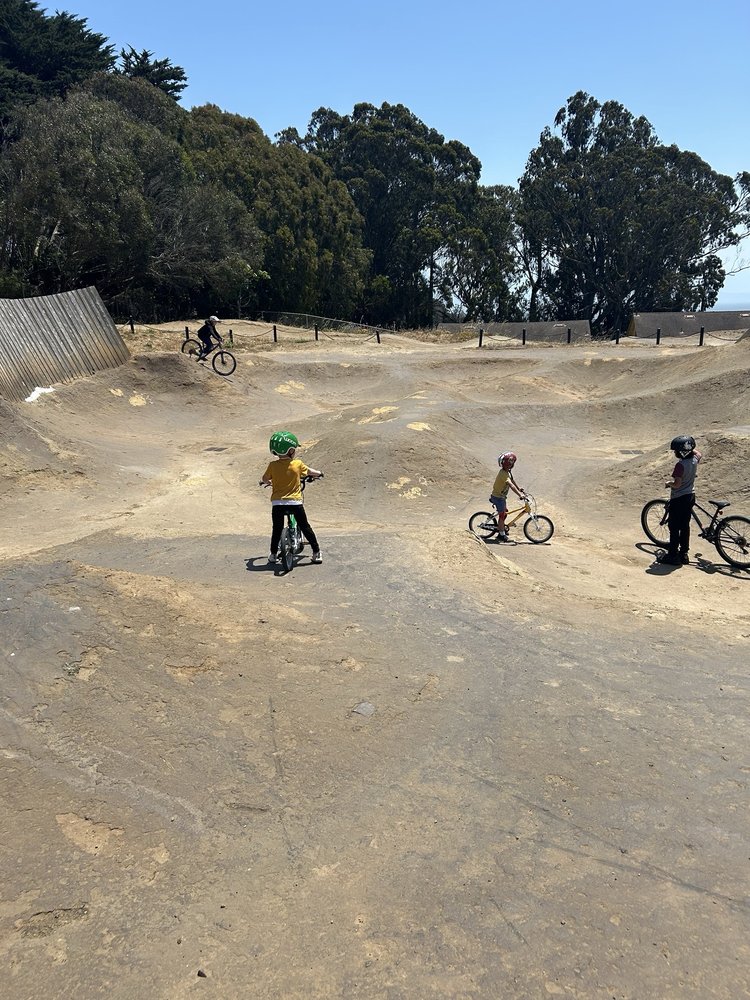
Explore popular things to do in the area, including C-Mor Distributing, and McLaren Bike Park.
| Name | Category | Distance | Reviews |
Ratings by
Yelp
|
|---|---|---|---|---|
| Shopping | 0.15 miles | 0 reviews | 0/5 stars | |
| Active | 0.59 miles | 6 reviews | 4.8/5 stars | |
|
|
||||
|
|
||||
|
|
||||
|
|
||||
|
|
||||
|
|