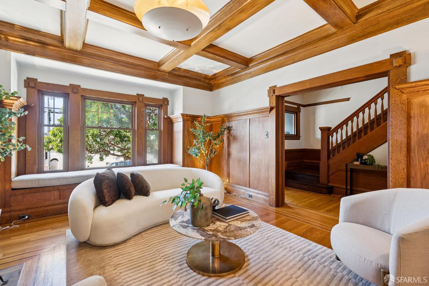
Read the immediate setting
District 10 is not one affordability or redevelopment story.

San Francisco Neighborhood Guide · SFAR 10C
Mission Street is the long commercial/transit spine; residential blocks climb toward McLaren Park or extend toward Balboa Park.
Neighborhood Overview
Southeast San Francisco is shaped by hills, McLaren Park, Third Street, freeways, rail lines, industrial land and the shoreline. Those systems create real barriers and distinct microareas, so environmental, access and redevelopment questions belong to the exact parcel or project. Excelsior Avenue, Persia, Brazil, Geneva, and Mission create smaller orientation nodes.
If you are comparing homes in Excelsior, follow the route you would actually use from the front door. Start around Mission Street, continue toward Persia Avenue, and notice what changes before reaching McLaren Park. That walk reveals the crossings, grade, frontage and street activity that a neighborhood name cannot.
The housing is not interchangeable from one block or building to the next. The useful comparison begins with property type and legal configuration, then narrows by condition and exact location.
District 10 is not one affordability or redevelopment story.
Commercial-corridor frontage differs from interior residential streets.
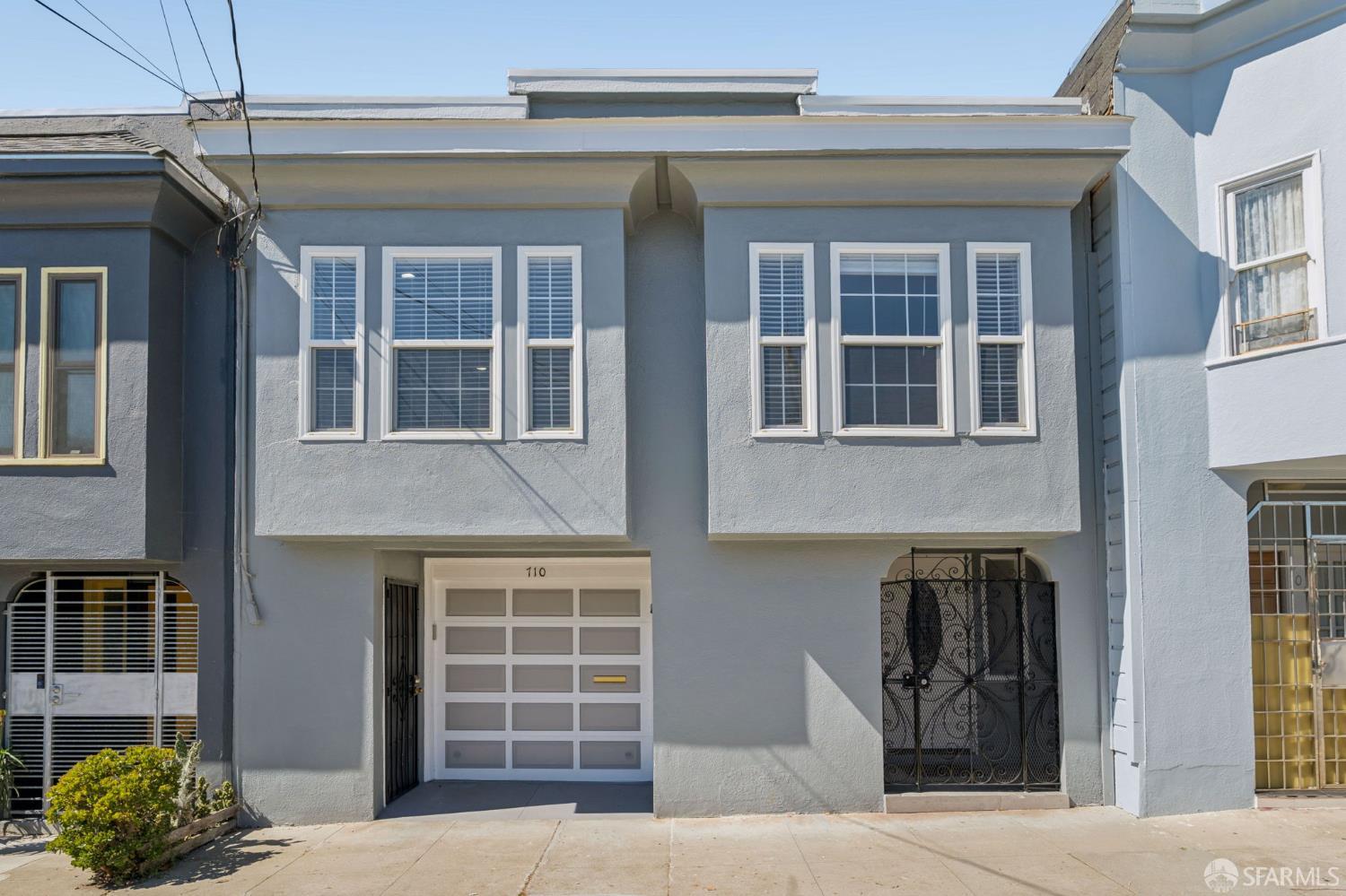
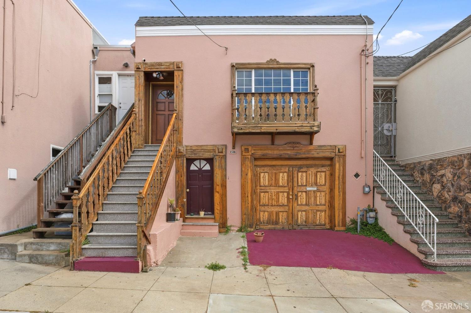
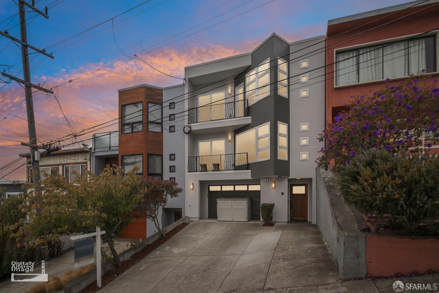
Housing often includes attached or closely spaced houses/flats over garages, but age and legal configuration vary.
Garage fit, lower-level use and permit history.

History & Built Identity
Southeast San Francisco grew around rail, port and industrial work, modest residential districts, open hills and the county line. Later redevelopment introduced new housing and public spaces, while freeways, shoreline conditions and environmental records kept parcel-level research essential. Freeways, rail, industrial/PDR land, hills, open space, shoreline, and the county line create barriers.
That development pattern gives the history practical weight. A structure’s age, original form and later alterations can all affect the documents and comparisons that matter today.
The history matters because it is still present in the street pattern, the relationship between buildings and lots, and the route between residential blocks and Mission Street. It does not make every property identical. Later alterations, legal use and present condition still have to be established from the records and the home itself.
Team Howe's Take
The useful map of Excelsior includes the barriers. Walk or drive from Mission Street toward McLaren Park, note every crossing and grade change, and keep project or environmental conclusions tied to the exact parcel.
Environmental and redevelopment claims require parcel and phase precision. Especially at Hunters Point Shipyard, Bayview waterfront, Yosemite Slough, and Candlestick. That is the kind of property-specific question that helps a buyer test the fit and helps a seller describe the home without leaning on broad neighborhood shorthand.
Team Howe Picks
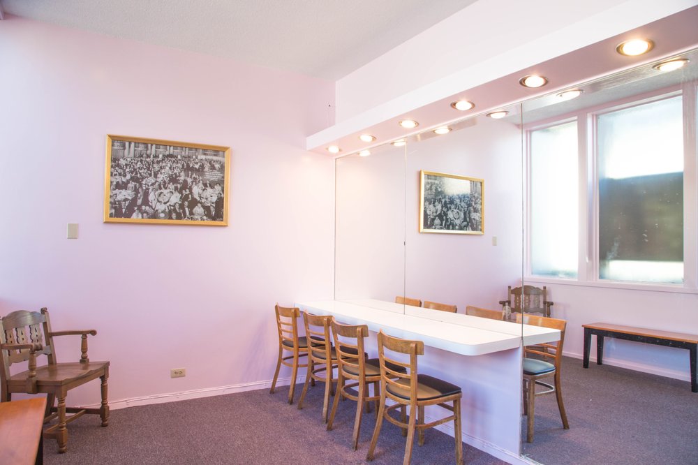
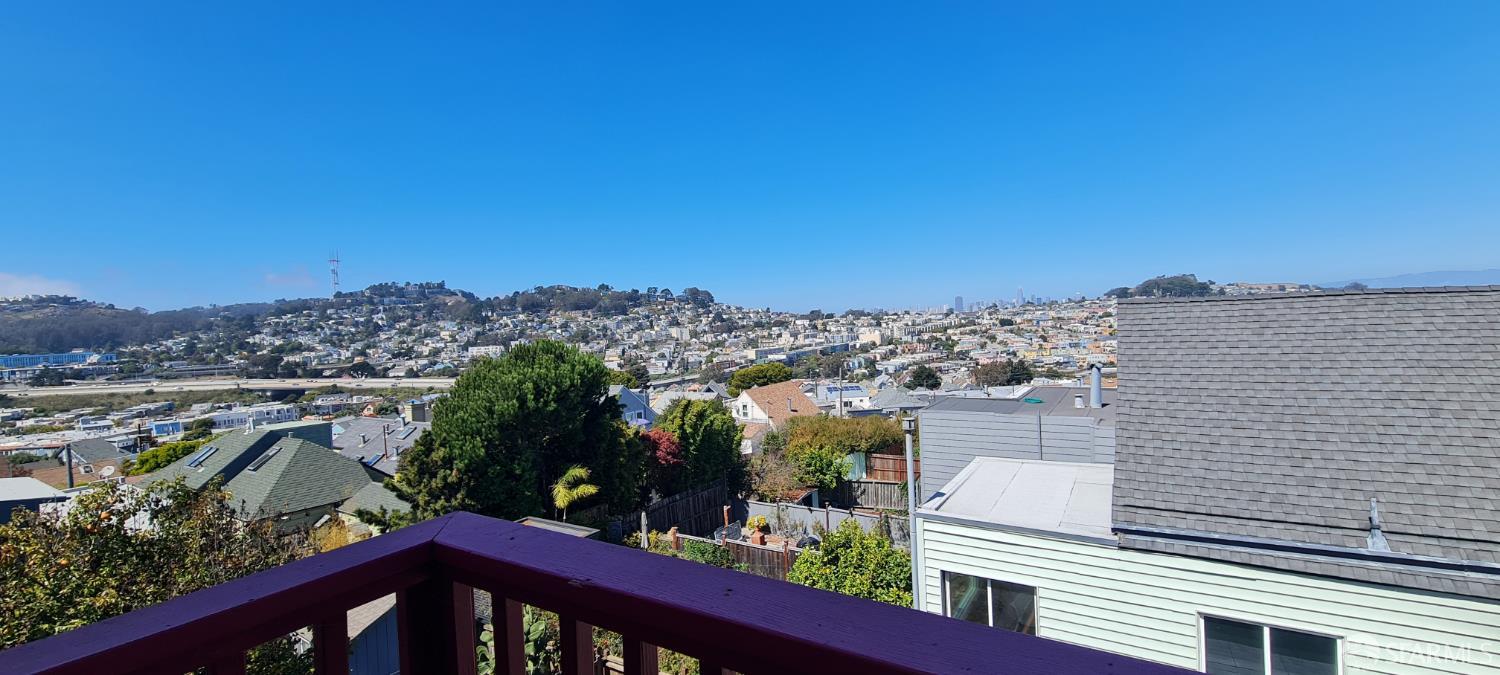
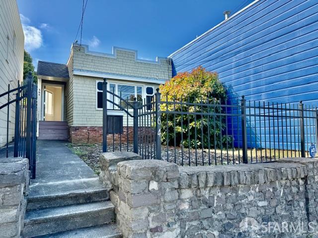
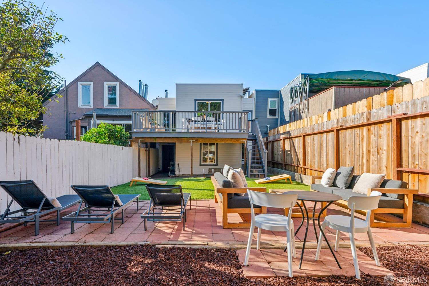
The streets between these stops are part of the tour. Notice how the route, grade and surrounding buildings change along the way.
Neighborhood route · 01
Begin where the neighborhood’s daily rhythm is easiest to read. Walk one or two surrounding blocks, then notice how quickly the commercial or public-facing street gives way to the residential fabric.
Neighborhood route · 02
Use the second stop to compare the route with the first. Grade, crossings, traffic and building scale can change within a short distance, and those changes matter more when the walk is part of a weekly routine.

Neighborhood route · 03
The final block is the useful part of this stop. Confirm the entrance, stairs, gate, platform or crossing that you would actually use rather than relying on straight-line distance.

Neighborhood route · 04
A different route back shows another side of Excelsior. Visit at the time you would normally travel so the current service, street activity and property exposure are easy to judge for yourself.
Excelsior Real Estate
The neighborhood label starts the search. The individual property, its records and its exact setting carry the decision.
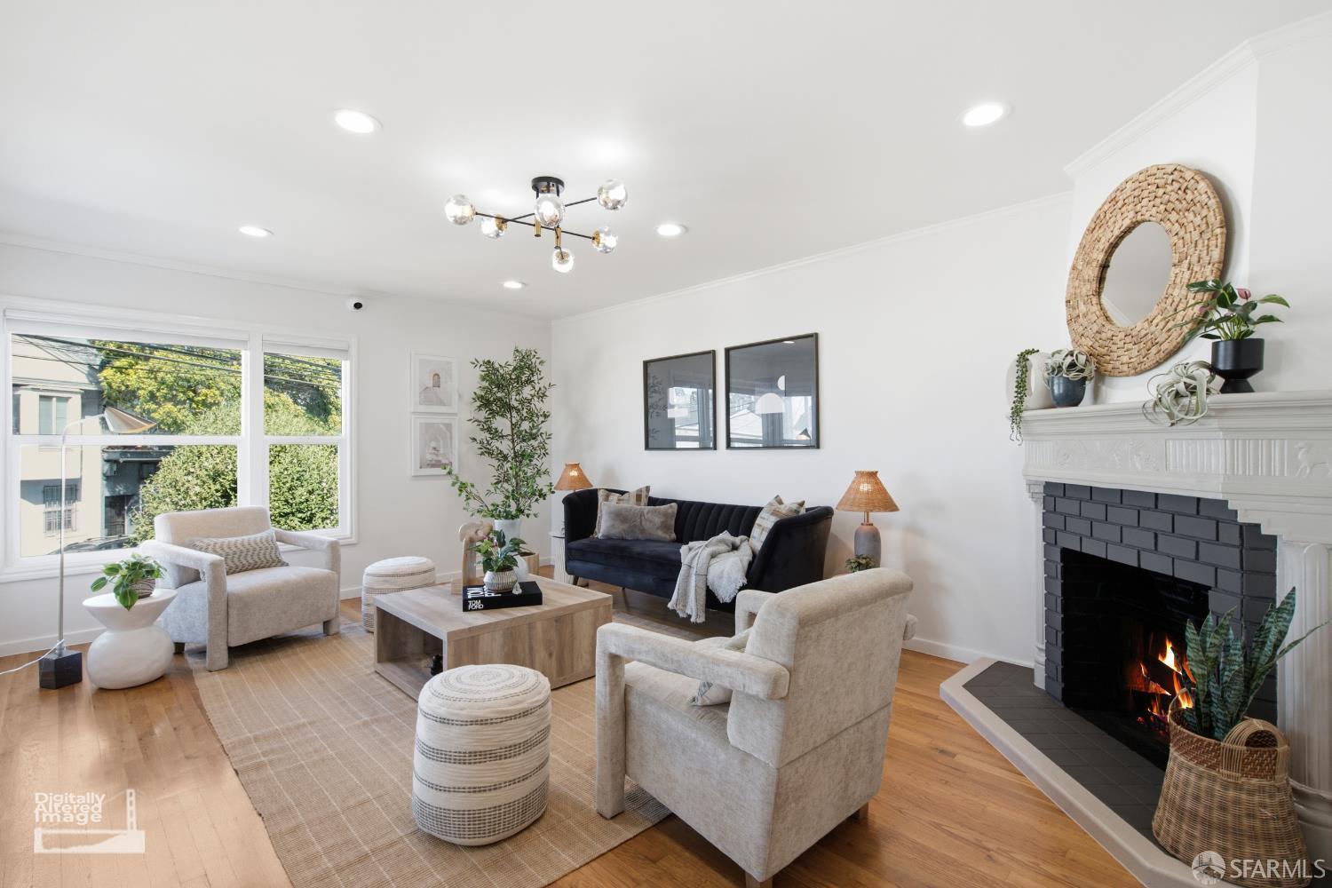
Walk the ordinary route between Mission Street and McLaren Park at the time you would normally use it. Then evaluate the home’s light, access, floor plan and documented use. A feature becomes valuable when it works for the way you expect to live.
For this part of Excelsior, the property-specific review should focus on garage fit, lower-level use and permit history. Read the disclosures, permits, title information and any HOA or building documents that apply. Inspectors and other qualified professionals should answer questions that the records cannot settle.
A strong presentation connects the home to its actual setting near Mission Street or Excelsior Branch Library and describes the floor plan, parking, storage, improvements and legal configuration accurately. Clear records help buyers understand what they are seeing.
Begin inside SFAR 10C, but do not stop with the code. Compare the same property type and account for condition, orientation, access and the nearby alternatives buyers can see at the same time.
Around Excelsior
The neighborhood is best photographed as a sequence: the activity around Mission Street, the residential transition near Persia Avenue, and the larger setting or public space around McLaren Park. Together those views show how the daily route and the housing fit one another.


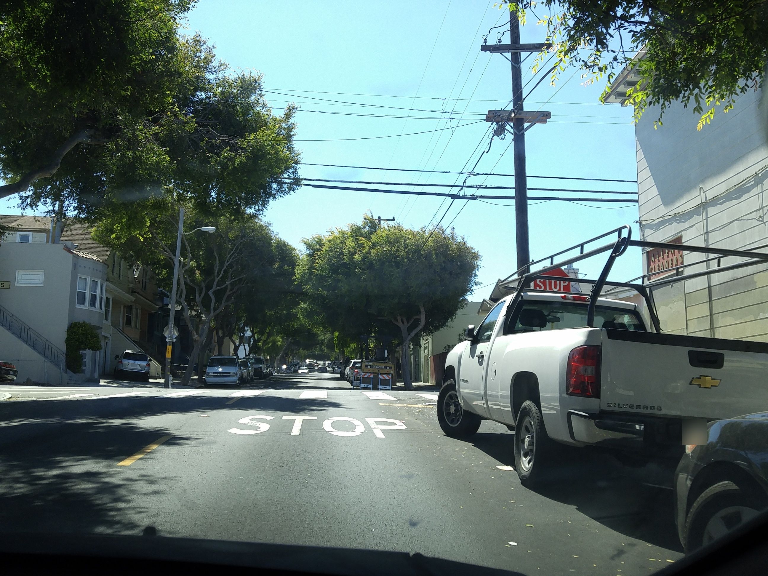
Map & Transportation
The useful transportation question starts with a destination and an ordinary travel time. From Mission Street, trace the trip toward McLaren Park and pay attention to the final stop, station entrance, crossing or hill. Check current agency information before relying on a route.
Driving deserves the same test. One-way streets, hills, freeway approaches, event circulation and large park or institutional edges can make the practical route different from the shortest route on a map.
Points of Interest & Commute
The live Compass scores and nearby-business feed provide a quick orientation to Excelsior. Read them alongside the exact route from the home, especially the final crossing, hill, station entrance or park gate that would become part of the routine.
Properties in the Area
Listings grouped under Excelsior do not automatically belong in one comparison set. Review current availability with recent sales that match the property type, legal structure, condition, building or lot, and exact location.
Neighborhood Overview
The neighborhood data below provides broad context. It is most useful alongside a visit to the block and a property-specific review.
Nearby Schools
The live school feed is a useful starting point for properties in Excelsior. Public-school assignment and enrollment rules are address- and year-specific, so confirm the current process directly with SFUSD before making a housing decision.
Excelsior FAQ
No. SFAR 10C is a useful search boundary, but routes, building types, topography and adjacent corridors can divide the practical comparison set. The address and property type should decide which nearby sales deserve the most weight.
Start with the route between the home and Mission Street or McLaren Park. Then review the property’s access, floor plan, parking or building operations, and confirm the legal configuration through the available records.
Focus on garage fit, lower-level use and permit history. Resolve the question at the property through disclosures, permits, title or HOA documents, and the appropriate inspections.
Use them as destinations for a real route test. Check the entrance, crossing, grade and current schedule. Proximity is useful only when the trip works for the person making it.
Emphasize the home’s verifiable relationship to Mission Street, McLaren Park and the surrounding residential blocks. Explain the floor plan, improvements, parking, storage and records clearly, then price against properties that attract a comparable buyer pool.
San Francisco Real Estate
Sherri Howe, REALTOR® | CA DRE #01816621
Founder, Team Howe | Compass
Team Howe helps San Francisco buyers compare neighborhoods, blocks and properties without asking a map label to make the decision for them. For sellers in Excelsior, the work begins with the home’s condition, records, exact setting and likely competition.
There's plenty to do around Excelsior, including shopping, dining, nightlife, parks, and more. Data provided by Walk Score and Yelp.
Explore popular things to do in the area, including Pupuseria El Golazo, Tienda Santa Marta, and Midnight Mission Cookies.
| Name | Category | Distance | Reviews |
Ratings by
Yelp
|
|---|---|---|---|---|
| Dining · $ | 0.52 miles | 6 reviews | 3.3/5 stars | |
| Dining | 0.63 miles | 2 reviews | 4.5/5 stars | |
| Dining | 0.65 miles | 0 reviews | 0/5 stars | |
| Active | 0.47 miles | 21 reviews | 3.3/5 stars | |
| Nightlife | 0.64 miles | 0 reviews | 0/5 stars | |
| Nightlife | 0.65 miles | 1 review | 5/5 stars | |
|
|
||||
|
|
||||
|
|
||||
|
|
||||
|
|
||||
|
|